
West Petaluma
& Chileno Valley
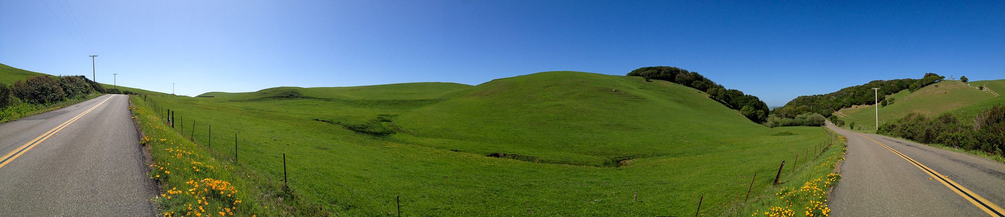
Dairy and ranch country, where Jim comes from.
Pepper Road, west of Petaluma
Where Jim comes from
Jim Lanatti was a dairyman in Chileno Valley west of Petaluma before entering real estate. His local listings include the Bodega Avenue farmstead and Cleveland Lane farmhouse, both labeled as past listings on this site.
Chileno Valley and the roads toward the coast cross jurisdictional boundaries. Confirm whether a parcel is in Sonoma or Marin County before requesting permits or relying on county rules. The Sonoma County guidance below does not substitute for Marin County requirements.
Questions about rural property
What should a buyer check first on land west of Petaluma?
Confirm the water source, legal right to use it, capacity, quality, and seasonal reliability. A well, shared system, spring, or pond needs different records and professional advice.
Request available permits, drilling logs, maintenance records, and recent test results. Have a qualified well professional and testing laboratory advise on current yield and water quality. For a shared system, review the agreement, costs, and maintenance obligations. Use the permitting office for the county where the parcel lies.
Review septic permits and maintenance history with a qualified professional. Confirm the system’s approved capacity and what an expansion or replacement would require before relying on plans for the property.
Sources: Permit Sonoma well and septic division; Sonoma County Onsite Wastewater Treatment System regulations and technical standards.
Is the parcel under a Williamson Act contract, and what does that change?
A Williamson Act contract restricts land to agricultural and compatible uses in exchange for property tax assessment based on those uses. A sale does not erase the contract; review its terms and status before planning changes.
Obtain the recorded contract and ask the county program staff about permitted uses, renewal or nonrenewal status, and any proposed project. Standard contracts and Farmland Security Zone contracts have different terms. A second home, subdivision, or change of use needs a parcel-specific answer.
Jim’s answer on what the Williamson Act means when you sell covers the seller’s side. For a buyer, the question is whether the plan for the land fits the contract, and the time to ask is before the offer.
Sources: Permit Sonoma, Agricultural Preserve instructions and forms; California Department of Conservation, Williamson Act program; California Government Code sections 51200 to 51297.
What do the zoning letters on a county parcel mean?
Zoning identifies allowed uses and development standards. The base district, density limits, and combining districts all matter; no single letter or map label settles whether a project can be approved.
LIA is Land Intensive Agriculture, LEA is Land Extensive Agriculture, and DA is Diverse Agriculture. RRD, Resources and Rural Development, covers the steeper and more remote ground. AR, Agriculture and Residential, and RR, Rural Residential, are the smaller-parcel districts closer to town. Additional codes and density figures require checking against the applicable ordinance. Combining districts add rules on top: F1 and F2 for floodway and floodplain, SR for scenic resources, RC for riparian corridors, VOH for valley oak habitat.
Permit Sonoma’s parcel search shows the letters for any parcel, and chapter 26 of the county code explains them. If a second dwelling, an agricultural building, a vacation rental, or a lot split is part of the plan, check the letters before anything else.
Sources: Sonoma County Zoning Code chapter 26 (Permit Sonoma); Permit Sonoma parcel search.
Can I get fire insurance on a ranch house out here?
Availability, coverage, and price are address-specific. Ask a licensed insurance agent for written quotes early enough to evaluate them before removing relevant contingencies.
CAL FIRE’s Fire Hazard Severity Zones support hazard disclosure, planning, and applicable building and defensible-space requirements. The California Department of Insurance says these maps are not used to set insurance rates or make underwriting decisions; insurers use their own risk models.
An insurance agent can explain available policies, exclusions, and whether FAIR Plan coverage with additional coverage is appropriate. A map designation alone does not establish whether a property can be insured or what the premium will be.
Sources: Office of the State Fire Marshal, Fire Hazard Severity Zones; California Department of Insurance, residential insurance guides and the California FAIR Plan.
What about the road in and the fence lines?
Confirm legal access, road maintenance obligations, and boundaries. A road in use or an existing fence is not proof of a recorded easement or surveyed property line.
Read the preliminary title report for recorded easements and road maintenance agreements, then stand on the road and match the documents to the ground. Where a road serves several parcels, ask who grades it, who pays, and what happens when they disagree. Where boundaries are uncertain, discuss survey work with a licensed surveyor. Gates, cattle guards, and water lines that cross a boundary all belong in the conversation before escrow, not after.
Sources: Sonoma County Clerk-Recorder, recorded documents; preliminary title reports.
How is selling land here different from selling a house in town?
Rural properties often require more investigation of water, access, permitted uses, improvements, and financing. Comparable sales may be less similar and farther apart.
Gather the available well and septic records, leases, access documents, contract status, and inventory of improvements. Discuss the likely buyers and marketing plan with Jim. Financing and sale timelines vary by property. The rural sale guide covers these considerations.
Sources: the Ranch & Land page and Answers on this site.
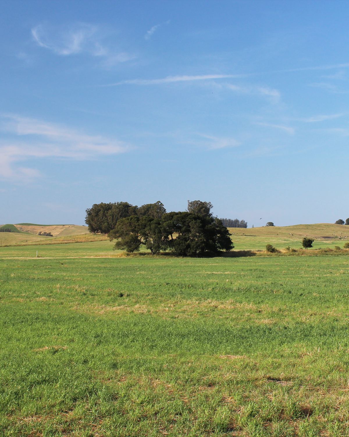
Pasture on Pepper Road near Mecham Road
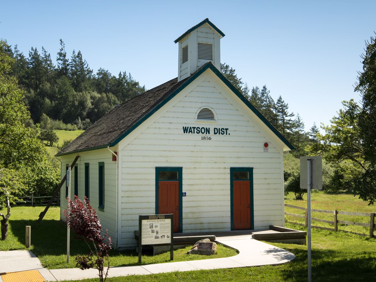
Watson School, on the road to the coast
Territory photographs illustrate the country. They do not show properties Jim listed, sold, or owns. Credits on the privacy page.
Offices for land west of town
- Permit Sonoma: well and septicWell permits, septic records, and the onsite wastewater rules.
- Permit Sonoma: parcel searchZoning letters and permit history by parcel.
- Permit Sonoma: agricultural preservesWilliamson Act and Farmland Security Zone contracts in Sonoma County.
- California Department of Conservation: Williamson ActThe state program behind the contracts.
- CAL FIRE: Fire Hazard Severity ZonesHazard maps for disclosure, planning, and applicable building requirements.
- California Department of Insurance: home insurance guidesShopping for coverage, and the FAIR Plan.
- Sonoma Resource Conservation DistrictWater, grazing, and conservation help for working land.
- Marin County PlanningZoning and land use once the road crosses the county line.
General information; confirm the requirements for a specific property with the agency and with qualified professionals.
Past listings west of Petaluma
All properties- 5.5 ac6622 Bodega Avenue · West PetalumaPast listing
- 2.5 ac720 Cleveland Lane · PetalumaPast listing
Talk with Jim about your property.
Call or text (209) 481-8346.